Description
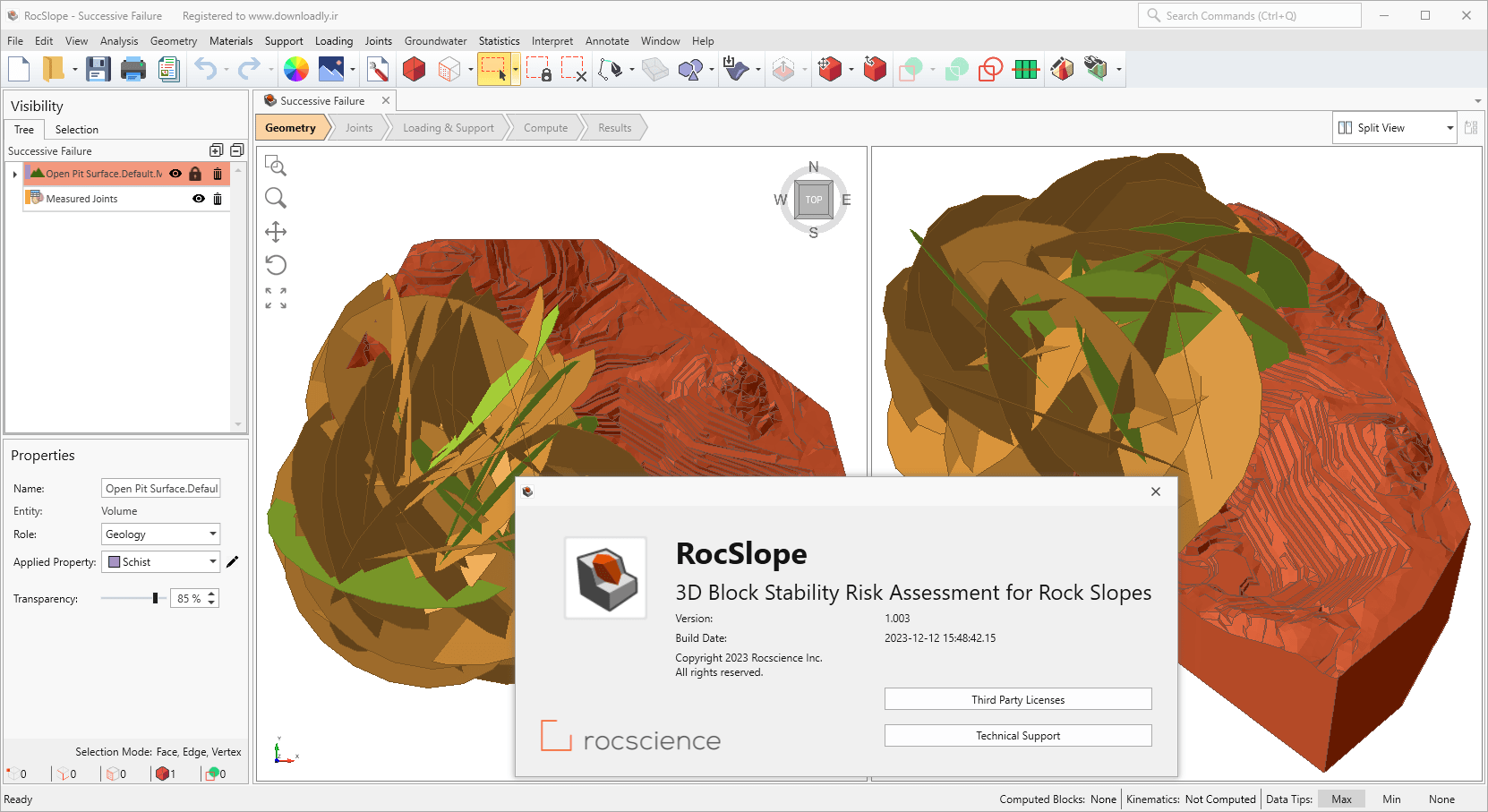
RocSlope product Rocscience software for 3D block stability risk assessment for rock slopes. This software For 3D slope geometries, main channel cuts and whole open cavities, structurally controlled fracture modeling is applied to rock slopes representing connectivity (faults, joints, bedding, folds, foliation). . Define joints as any combination of measured joints, sets of artificially sampled joints, or discrete surfaces defined by orientation and location. Specify all valid blocks that can be formed by the intersection of connections. Once the blocks have been calculated, determine the stability of each block using the limit equilibrium method to obtain a factor of safety, taking into account weight, shear strength, water pressure, loading and support. Predict the locations and magnitude of failures along the span by creating heat maps to show locations with the lowest safety factors, the greatest failure volume and depth, and the greatest support requirements. Perform probabilistic analysis to model variability in rock unit weight, joint shear strength, and water pressure parameters and obtain specific probabilities of failure location. Create statistical plots such as histograms, cumulative and scatter plots for any selection of blocks and proportional distributions and regression lines through the data. Perform probabilistic analysis to model variability in rock unit weight, joint shear strength, and water pressure parameters, and obtain failure location-specific probabilities. Create statistical plots such as histograms, cumulative and scatter plots for any selection of blocks and proportional distributions and regression lines through the data.
Features and features of RocSlope software:
-
3D geological structures model
-
Block stability analysis
-
Probabilistic analysis
-
Evaluation and location of large and small fractures along the wall of an open pit as part of optimal pit design, safety planning and risk mitigation during the design and operational phases.
-
Geological risk assessment of the stability of rock slopes in the vicinity or displacement of urban infrastructure such as roads, highways, railways and bridges. Apply slope stabilization measurements by modeling the effects of rock reinforcement and drainage.
required system
Operating System
Windows 10 (64-bit), Windows 11 (64-bit)
RAM
Minimum requirement: 32 GB
Recommended for terrain meshes > 100,000 triangles: 64 GB
Hard disk
Pictures
Installation guide
It is given in the Readme file in the Crack folder.
download link
price in rials | Price in Euro
Any questions or problems only through the department Contact us bring up
Size
440 MB