Description
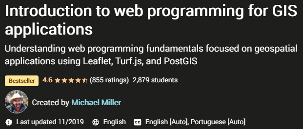
Introduction to web programming for GIS applications a training course to familiarize yourself with the concepts of web application development for Geographic information system ( Geographic Information System – GIS) using Leaflet, Turf.js and PostGIS. This training focuses on gaining a conceptual understanding of how web technologies work and how they work together to form a web application that is used to distribute, collect or analyze spatial data. Since the goal is to understand the concept, you don’t need to install the software or follow the step-by-step training in coding and building the application. Its main purpose is to provide the necessary background to understand how the Internet works and what technologies are needed at what times.
This tutorial uses free and open source software, and as a result, you don’t need separate costs to make web-based maps. However, if you want to use the concepts you learn in this training to the same quality as they are taught, you will need access to commercial GIS software and web servers. The instructor of this course has mentioned that his goal in creating this course is to provide information that he did not have when he entered the world of web development, and as a result, he spent a lot of time to form a comprehensive picture of all the details and to find the technology. The correct ones and testing them is wasted. If you plan to enter this profession, this training can save you a lot of time and energy.
What do you learn:
- Understanding the basic technologies used in web development
- Understanding how they interact with each other to form a web application
- Basic knowledge of HTML, CSS, JavaScript, jQuery, Bootstrap, PHP, AJAX, SQL and PostgreSQL database
- Gaining the necessary knowledge to use Leaflet, Turf.js, and PostGIS to create a web-based map application that is freely available to everyone.
This training is suitable for people who:
- GIS users who are interested in understanding how to distribute and collect information through the Internet
- Web developers who want to add space applications to their development field
Specifications Introduction to web programming for GIS applications:
- Publisher: Udemy
- Lecturer: Michael Miller
- English language
- Training level: beginner
- Number of lessons: 103 lessons in 13 sections
- Duration: 14h 41m
Headlines
prerequisites
- This is an introductory level course. The focus is on understanding concepts and, although examples will be provided, installing software and following along is not expected.
- Some familiarity with programming and GIS will be beneficial, but it is not assumed.
Pictures

Sample video
Installation guide
After extracting, watch with your favorite player.
English subtitle
Quality: 720p
download link
Password file(s): www.downloadly.ir
Size
1.48 GB