Description
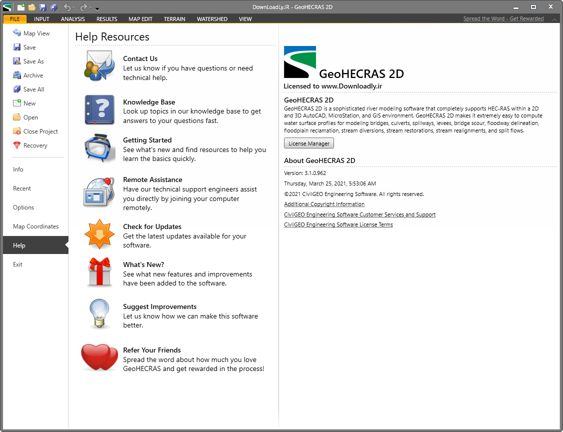
GeoHECRAS, a product of CivilGEO, is a software in the field of simulation of flowing water in rivers and road crossings. In fact, the main application of this product is simulating solutions to deal with floods. Thanks to the use of this software, you can consider very comprehensive and reliable solutions in the design of safe crossings. Using this product helps engineers to get better and more accurate results. This software also allows you to examine and analyze water passages from different perspectives.
One of the advantages of using GeoHECRAS software, which makes users feel comfortable, is related to the user interface of this product. Full compatibility with other engineering software such as AutoCAD is one of the other benefits that have made the use of this software more attractive to design engineers. You can quickly and easily enter the data you need, such as geographic data, into your modeling and then do a better analysis. You can also directly use Google or Bing online maps or high resolution aerial images as your model.
This software, along with its two-dimensional modeling capabilities, has made it possible to visualize your models in three-dimensional space. In this way, you can have a better perspective on your project. The tools in this software are designed in such a way that you can easily edit and change your model and maps.
Features and features of GeoHECRAS software:
- Modeling the map of the movement of water in different places
- The possibility of achieving comprehensive solutions for the correct management of the movement of water
- Very high accuracy in simulations and high speed in data processing
- The ability to enter all types of data for the accuracy of the simulated project
- Full compatibility with software such as AutoCAD, MicroStation and ESRI ArcGIS
- Ability to work simultaneously on several projects with the possibility of merging them
- The possibility of using ready-made online maps such as Google map services
- And…
required system
Operating System
- Microsoft Windows 10 (64-bit only)
- Microsoft Windows 8.1 (64-bit only)
- Microsoft Windows 7 SP1 (64-bit only)
Processor
- Minimum: 2.5-2.9 GHz or faster processor
- Recommended: 3+ GHz or faster processor
Memory
- Minimum: 8 GB RAM
- Recommended: 16 GB RAM
Display resolution
- Minimum: 1440 x 900
- Recommended: 1920 x 1080 or higher
Display Card
- Minimum: 1 GB GPU with 29 GB/s Bandwidth and DirectX 11 compliant
- Recommended: 4 GB GPU with 106 GB/s Bandwidth and DirectX 11 compliant
Hard disk
- 1 GB for installation (downloaded file)
- 3 GB for program files
Pointing Device
MS-Mouse compliant device
Browser
- Internet Explorer® 11.0 (or later)
- Google Chrome
.NET Framework
Microsoft .NET Framework Version 4.5 or higher
Additional Requirements for Large Datasets
Memory
16 GB RAM or more
Disk Space
6 GB free hard disk available, not including installation
Display Card
1920 x 1080 or greater True color video display adapter; 128 MB VRAM or greater, Pixel Shader 3.0 or greater, Direct3D® capable workstation class graphics card.
Pictures
Installation guide
It is given in the Readme file in the Crack folder.
download link
price in rials | Price in Euro
price in rials | Price in Euro
Any questions or problems only through the department Contact us bring up
Price of v3.1 x64 is 129 Euro for 2 PCs; Other Payment Method
Size
936 MB
